
Living and Buying a Home in Pleasant Hill, Missouri
Pleasant Hill connects a historic downtown with the Rock Island Trail, City Lake, community parks and residential settings that transition toward the countryside. Trail access and a recognizable local center give the community a distinct place within the outer Kansas City region.
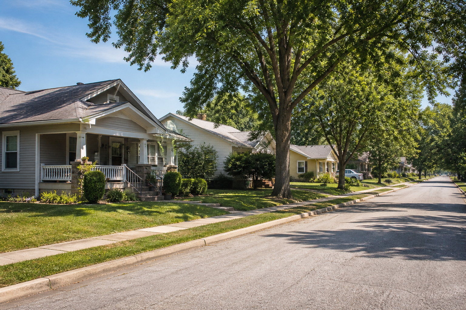
Historic Downtown and a Trailhead Community
Pleasant Hill’s historic business district sits close to a major regional trail connection. The Rock Island Spur begins its route toward the Katy Trail system from the community, while the MoPAC Trail links downtown with City Lake and other local destinations.
Homes range from older in-town properties to established neighborhoods, later development and country settings. Compare construction age, renovation records, utilities, access, association documents and the route to the places that will shape daily life.
Community Reference
2020 Census population — 8,777. Source: U.S. Census Bureau Missouri Incorporated Places table.
Pleasant Hill at a Glance

Rock Island Trail
The western trailhead connects Pleasant Hill to a longer state-trail route used by walkers and cyclists.

Historic Downtown
Brick commercial blocks and local civic identity provide a recognizable community center.
City Lake
Water, camping, disc golf, trails and outdoor facilities create a separate recreation destination.

Pleasant Hill R-III
Official enrollment resources provide the right starting point for address verification.

Housing Settings
Historic homes, in-town neighborhoods, subdivisions and country properties create varied ownership paths.

Regional Position
Routes connect Pleasant Hill with Lee’s Summit, Raymore, Harrisonville and surrounding Cass County areas.
Rock Island Trail, City Lake and Community Parks
The Rock Island Spur and MoPAC Trail make trail access a central part of Pleasant Hill’s recreation identity. City Lake adds fishing, boating, camping, disc golf and trail options under current local rules. City Park, the recreation complex and other facilities broaden the range of community gathering and active uses.
Use official city and state resources to confirm trail conditions, permits, camping, water access and facility availability. The trail and lake are enduring parts of the setting even when schedules or rules change.
Confirm Pleasant Hill R-III Enrollment
Pleasant Hill R-III provides official enrollment and district information. Some properties with a Pleasant Hill mailing address may still require careful district verification.
Confirm the complete address directly with the district before relying on an assignment. School rankings and demographic comparisons are intentionally excluded.
Historic Homes, In-Town Neighborhoods and Country Settings
Older homes near downtown may offer distinctive architecture and direct access to the community center while requiring detailed review of renovations and major systems. Established neighborhoods and newer subdivisions add different street, lot and association patterns. Country properties may involve wells, septic, long driveways, outbuildings, fencing and land-use considerations.
Review surveys, easements, utilities, permits, drainage and maintenance responsibilities based on the parcel. Trail proximity is useful context, but access rights and crossings should be verified rather than assumed.
Regional Access From the Edge of the Kansas City Metro
Pleasant Hill sits within Cass County with routes toward Lee’s Summit, Raymore, Harrisonville and other regional destinations. Its position can support several different work and service patterns, but travel should be tested from the property itself.
Include both vehicle routes and trail access when they matter. Confirm planned road work or trail connections through official agencies before treating them as part of a purchase decision.
Buying in Pleasant Hill
Pleasant Hill buyers can shape the search around downtown access, trail use, lake recreation, neighborhood setting or additional land.
- Verify school assignment, utilities and trail access for the complete address.
- Match inspection depth to construction age, renovations and rural systems.
- Review survey, easement, association and road-maintenance documents when applicable.
- Visit downtown, the trailhead and City Lake before choosing among property settings.
Selling in Pleasant Hill
Pleasant Hill sellers can help buyers understand the property by documenting condition, access and verified local context.
- Prepare permits, renovation and maintenance records.
- Clarify trail access, easements, utilities or shared-road responsibilities when applicable.
- Use factual proximity language for downtown, City Lake and the trail system.
- Document outbuildings, fencing and land-use facts on country properties.
Explore Pleasant Hill Resources
Walk part of the downtown and trail connection, visit City Lake, then drive the in-town, subdivision and country settings represented in your search. Official city and school resources can turn that first impression into an address-specific review.
Rock Island Trail
The western trailhead connects Pleasant Hill to a longer state-trail route used by walkers and cyclists.
Historic Downtown
Brick commercial blocks and local civic identity provide a recognizable community center.
City Lake
Water, camping, disc golf, trails and outdoor facilities create a separate recreation destination.
Official and Helpful Resources
Use official sources for current programs, boundaries, schedules and property-specific details.
Pleasant Hill Questions
Pleasant Hill is a starting point for the Rock Island Spur, which connects toward the Katy Trail system. The local MoPAC connections give you more ways to explore the community by trail.
Start with City Lake, City Park, the recreation complex, and the Rock Island and MoPAC trails. The official city and trail sites are good places to check details before you visit.
Check Pleasant Hill R-III’s enrollment information, then give the district the home’s full address to confirm the school assignment. That confirmation matters more than the city name on the listing.
Look at how the trail actually meets the property. You’ll want to understand access rights, crossings, easements, privacy and drainage before deciding whether the location works for you.
Yes. Tell us what matters most to you, and we can compare the homes, daily routes, parks and upkeep involved in each location. That makes it easier to weigh the differences against your own plans.
Ask Austin About Pleasant Hill
Tell Austin what kind of home, setting or daily routine you are comparing. He can help organize current listing options and the address-specific questions that deserve verification.